A single frame from a TikTok video. A shadow on the ground. The curve of a rooftop. Could that really reveal where a missile was launched or a war crime committed? Believe it or not, yes. OSINT geolocation techniques have revolutionized how conflicts are tracked, sometimes faster than governments respond.
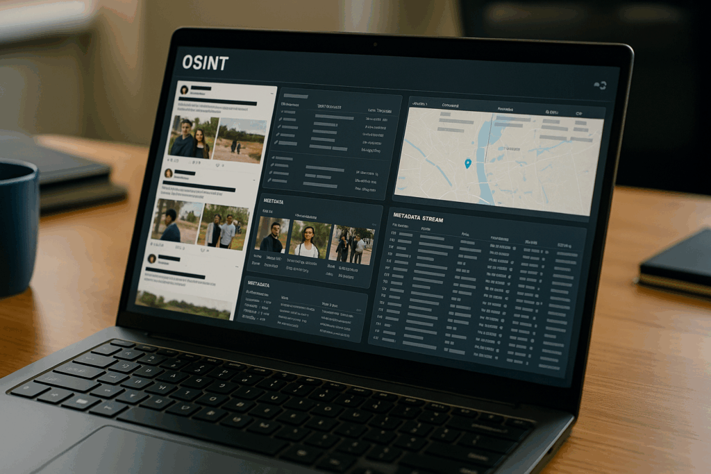
What Is Geolocation in OSINT? In the realm of OSINT, geolocation refers to the process of identifying the exact location where a video, photo, or event took place, using only publicly available data. This can include satellite images, building shapes, natural features, sun shadows, and landmarks visible in media. Unlike GPS tagging, which may be turned off or falsified, geolocation by visual and contextual analysis provides a powerful method of independent verification.
Geolocation is most commonly applied to conflict zones. It enables independent researchers, journalists, and NGOs to verify when and where a particular military event or human rights abuse happened. But how can an image on social media carry enough detail to pin down a spot on the map?
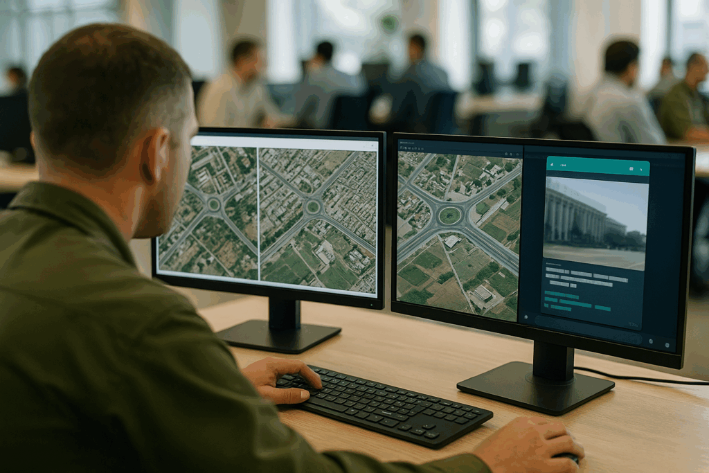
The Tools and Techniques Behind typically begins with a visual asset: a TikTok video, Telegram clip, or satellite image. Analysts start by identifying landmarks, buildings, tree lines, hills, water towers, anything unique. Then, using platforms like Google Earth, Sentinel Hub, or Mapillary, they match those visuals to satellite or street-level imagery.
Sun position analysis (using tools like SunCalc.org) can help determine the time of day based on the length and direction of shadows. Sound too simple? This exact method was used to confirm the launch point of missiles in Syria and drone strikes in Ukraine. In some cases, vehicle license plates, road signs, or even cloud formations have assisted in narrowing down a location.
An example of OSINT at its most precise was Bellingcat’s geolocation of the Buk missile launcher involved in the downing of MH17 in eastern Ukraine. Using crowd-shared videos, weather patterns, road features, and satellite analysis, they traced the launcher’s route and origin, all from open data.
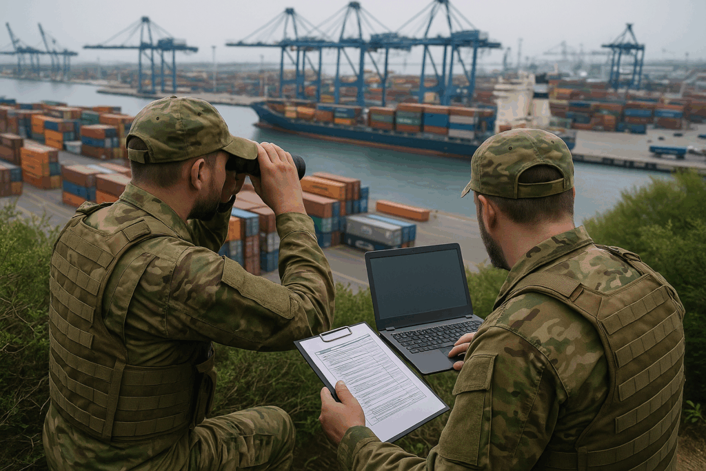
Uses in Conflict Monitoring and Verification, geolocation isn’t just academic, it’s become central to accountability. Amnesty International, Bellingcat, and Forensic Architecture regularly geolocate images to verify alleged war crimes. This helps prevent disinformation, holds actors accountable, and gives civilians some transparency in chaotic situations.
Can you really trust everything you see online during war? With deepfakes and propaganda spreading fast, independent geolocation offers an antidote. For instance, in the Syrian conflict, footage claiming to show a bombing was verified to have occurred years earlier, debunked through weather, shadow, and background structure comparison.
Even governments have begun incorporating OSINT into their formal intelligence work, recognizing that citizen journalists and investigative collectives can sometimes work faster than traditional agencies.
Limitations and Ethics, while powerful, geolocation carries risks. Revealing the exact location of a person in real-time, especially in conflict, can endanger lives. Reputable researchers blur identifying details and delay publishing until people are safe. Also, visual media can be edited or intentionally misleading, so multiple data points must be cross-referenced for accuracy.
Importantly, geolocation doesn’t work in isolation. It’s most useful when combined with chronolocation (determining when something happened), metadata analysis, and human context. And like all OSINT, it walks the line between visibility and privacy.
Geolocation has become one of OSINT’s most dramatic and visual tools, proving that even the most casual social media post can carry evidence of global significance. Whether tracking troops, verifying airstrikes, or exposing disinformation, the ability to map truth in real time is now in the hands of anyone with patience, tools, and an eye for detail. So, next time you see a photo from a conflict zone, ask yourself: Can I tell where this really happened?
- Bellingcat’s Geolocation Guide: https://www.bellingcat.com/resources/how-tos/2020/03/30/how-to-verify-videos/
- Amnesty International’s Digital Verification Corps: https://www.amnesty.org/en/latest/news/2020/06/inside-digital-verification-corps/
- SunCalc: https://www.suncalc.org
- Google Earth: https://earth.google.com
- Sentinel Hub: https://www.sentinel-hub.com
- Bellingcat. (2020). How to Verify Videos from Conflict Zones.
- Amnesty International. (2020). Digital Verification Methods for Conflict Research.
- Forensic Architecture: https://forensic-architecture.org/
- Wired analysis on PS752 (WIRED)