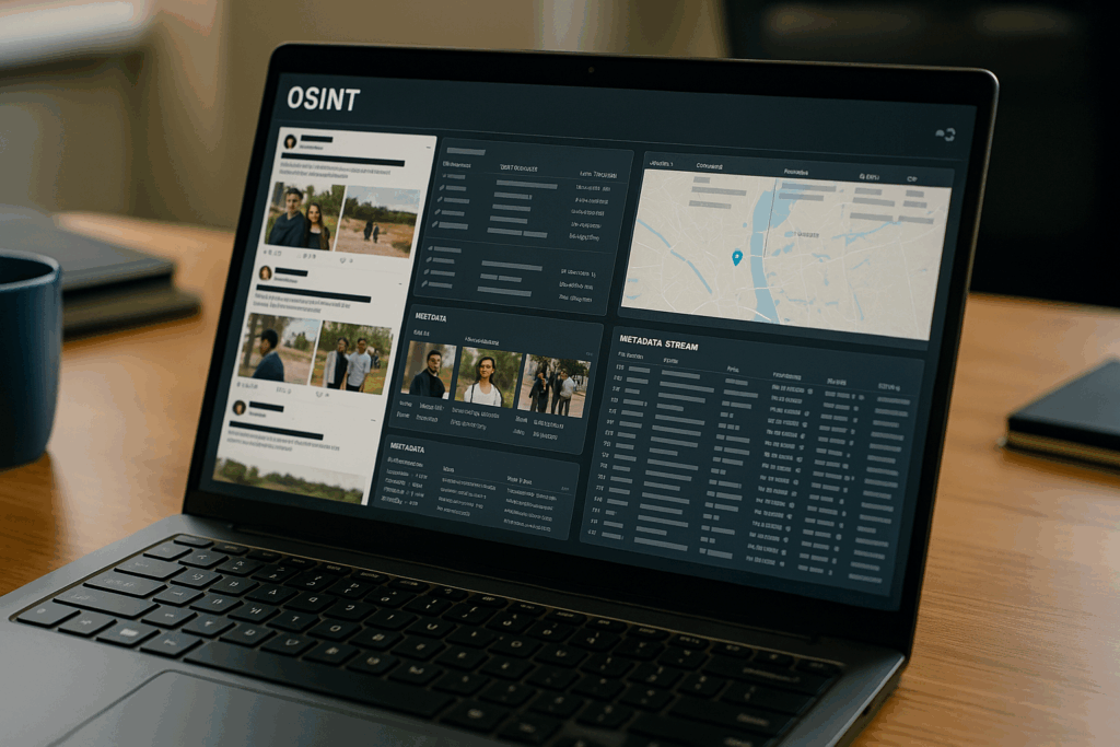
What if you could predict supply chain breakdowns, track construction projects, or monitor critical infrastructure, without stepping foot on site? Open-source intelligence (OSINT) equips analysts with the tools to do exactly that. From satellite images to social media posts, a vast array of public data enables a clear window into industrial activity across the globe. But how do analysts use it responsibly and effectively?
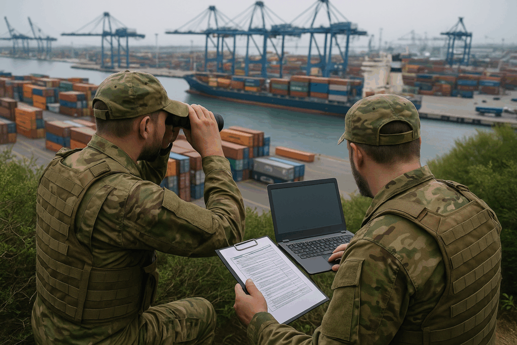
OSINT isn’t only for war zones, it’s a powerful tool for monitoring critical infrastructure: ports, pipelines, supply chains, industrial accidents. Investigators use satellite imagery, company filings, shipping databases, and social chatter to detect disruptions, unusual activity, or compliance issues.
For example, by analysing port vessel data and nighttime lighting patterns, one can flag slowdowns or blockages. With basic scripting, you can set alerts for new industrial permits or pipeline leaks discovered in local media or regulatory filings.
Using Public Data to Monitor the World, infrastructure-related OSINT involves analyzing developments in transportation networks, energy infrastructure, telecommunications, and industrial construction using open sources. Consider maritime activity: ships broadcast their positions via Automatic Identification System (AIS), and websites like MarineTraffic (https://www.marinetraffic.com) or FleetMon (https://www.fleetmon.com) make this data publicly available. By monitoring congestion patterns, changes in ship routes, or port activity, investigators can detect disruptions in global trade.
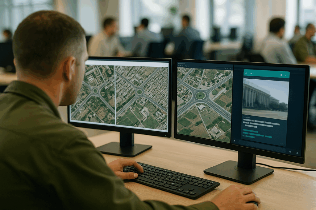
Large-scale construction is another target. Tools like Sentinel Hub and Google Earth Engine allow investigators to monitor industrial growth by comparing satellite imagery over time. For example, by studying time-lapse images, analysts can identify the construction of runways near contested borders, or verify state-sponsored infrastructure in remote regions. Even unexpected sources like TikTok videos from construction workers, job listings on LinkedIn, or resumes referencing project codes can yield insights into real-world operations.
Risks and Applications for who uses this information? Journalists use it to uncover corruption or report environmental hazards. NGOs monitor illegal construction or land use. Businesses apply industrial OSINT to evaluate foreign investments or supply chain risks. However, as powerful as these tools are, there’s a fine line between transparency and exposure. Revealing precise layouts or schedules of sensitive infrastructure could endanger operations or invite malicious activity. Responsible OSINT practice includes redacting critical information, delaying release, or using aggregated insights to maintain safety.
Industrial OSINT bridges the gap between space-based observation and ground-level intelligence. It turns publicly available fragments into cohesive narratives about infrastructure, production, and logistics. In a world where construction often signals power or strategy, monitoring steel and concrete isn’t just for architects, it’s for analysts, too.
- MarineTraffic: https://www.marinetraffic.com
- Satellite imagery: https://www.sentinel-hub.com
- Sector035 “Investigate Shell Companies” (Wikipedia, sector035.nl)
- Bellingcat (infrastructure research): https://www.bellingcat.com